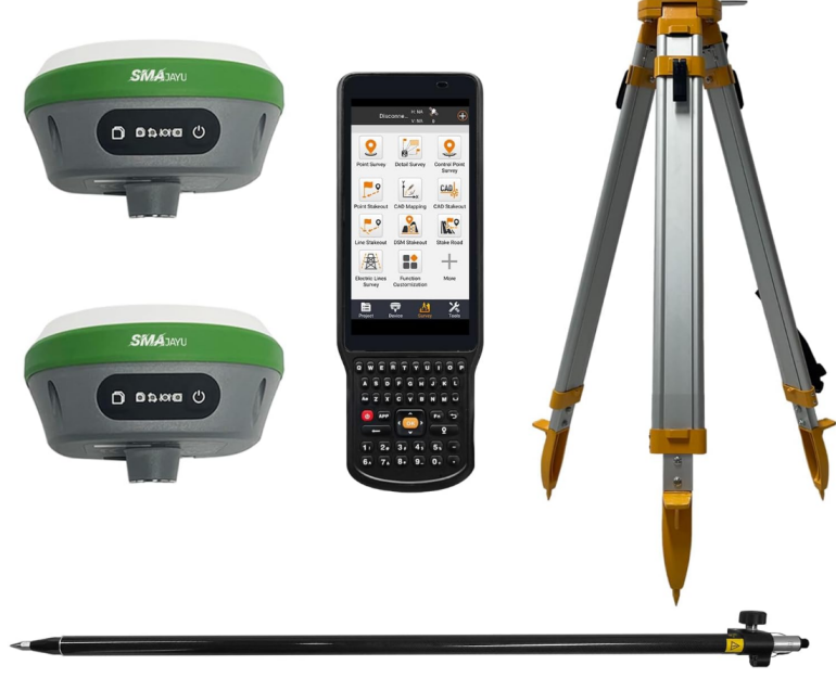
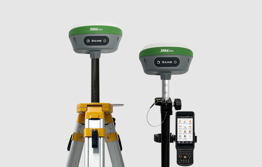
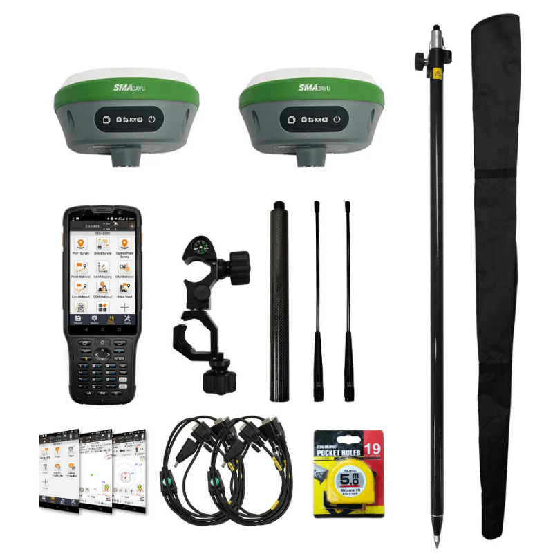
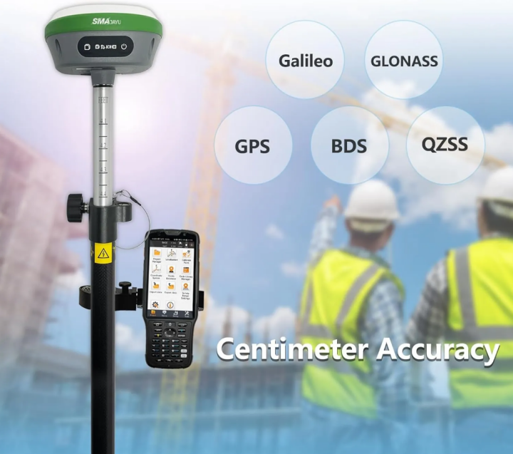
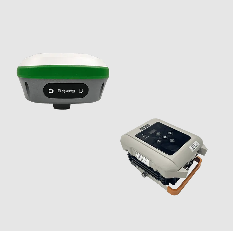
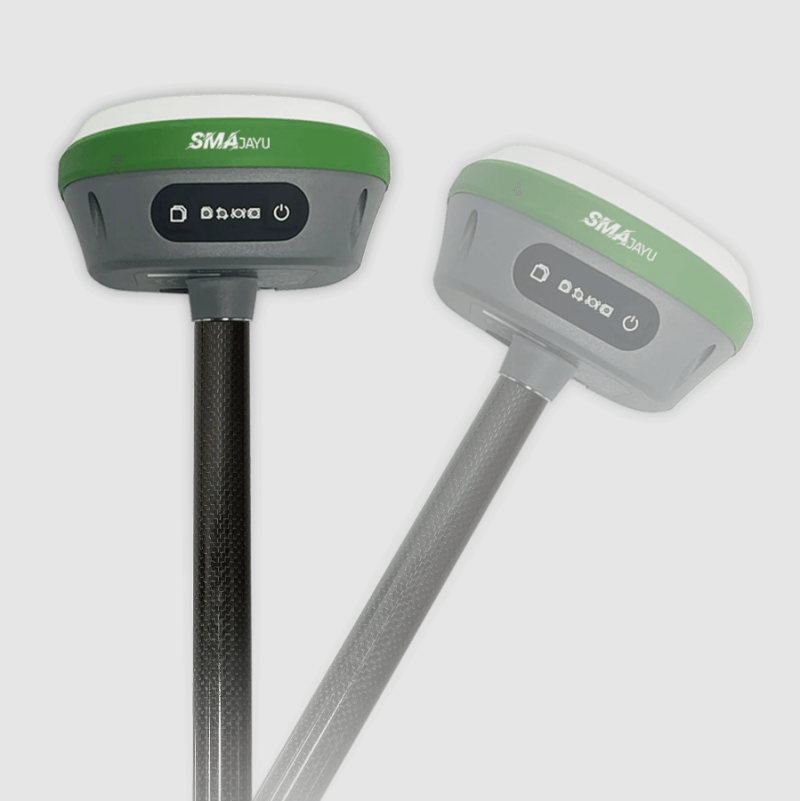
Best R26 Surveying System: Boost Your Surveying Capabilities

R26 Surveying System

In the realm of surveying, where accuracy and efficiency are paramount, professionals constantly seek out cutting-edge tools to elevate their performance and enhance their capabilities. The critical question arises: how can one achieve impeccable precision while simultaneously maintaining rapid execution and unwavering reliability? The solution lies in making a strategic choice of equipment, and the R26 ... Read more

What Is Land Engineering & Surveying And Why Is It Important for Construction Projects?

land engineering & surveying

Imagine a world where construction projects proceed without precise measurements, where buildings are erected on uncertain ground, and where roads misalign with city plans. This chaotic vision underscores the critical role Land Engineering & Surveying play in modern infrastructure. Without accurate land surveying and engineering, even the most well-planned construction projects would encounter costly delays, ... Read more

Cost-Benefit of Using RTK GPS for Civil Engineering Projects

RTK GPS for civil engineering

In the rapidly evolving world of modern construction, where speed and efficiency are paramount, the importance of precision cannot be overstated. Civil engineering endeavors, characterized by their complexity, demand exacting standards in tasks such as surveying, site layout, and continuous measurement to ensure that projects are not only completed with smooth execution but also remain ... Read more

How Engineering Surveys and Services Help Farmers Make Informed Decisions in Precision Agriculture

engineering surveys and services

Precision agriculture is revolutionizing the way farming is conducted by introducing data-driven, high-tech solutions. But how do farmers make informed decisions based on this advanced technology? The answer lies in engineering surveys and services. These tools offer accurate, real-time information that helps farmers manage land, optimize resources, and improve productivity. Why Farmers Need Engineering Surveys ... Read more

Competitive Benefits of Land Surveying GPS: R26 v2 +POLE

The R26 v2 +POLE by SMAJAYU is an advanced land surveying GPS system designed to meet the highest standards of precision and efficiency. Featuring RTK GNSS technology with 1408 channels and 1cm accuracy, it supports multiple satellite constellations, including GPS, GLONASS, and Galileo. The system is user-friendly with a straightforward setup process, durable construction, and ... Read more

Advantage in Market: Satellite Survey of Land with R26 GNSS Receptor

satellite survey of land

In today's rapidly evolving technology landscape, the field of land surveying is experiencing significant advancements. Among these, the satellite survey of land has emerged as a game-changer. At the forefront of this innovation is the R26 GNSS Receptor, a sophisticated tool designed to meet the rigorous demands of modern surveying. This blog explores the competitive ... Read more

Advantage in GIS Survey: Leveraging the R26 Rover

gis survey

GIS surveys are essential for capturing, storing, and analyzing spatial data across various industries. Leveraging the advanced R26 Rover by SMAJAYU provides a competitive edge in this field. The R26 Rover, with its all-in-one design and innovative features like an inertial module and automatic pole tilt compensation, ensures precise, centimeter-level positioning accuracy. Its versatility in ... Read more

How to Survey Point? Find RTK Radio Station and R26 Surveying Base

Survey Point

A Survey Point is a meticulously determined location used as a reference for surveying and mapping, guaranteeing accuracy and consistency in data collection. Elevating this precision, the RTK (Real-Time Kinematic) Radio Station and R26 Surveying Base from SMAJAYU deliver real-time GPS corrections, which are vital for accurate surveying. Renowned for their reliability and exceptional accuracy, SMAJAYU, ... Read more

Best Survey Base—R26 V1 GNSS GPS RTK Base Station

Survey base stations are crucial in various fields requiring precise geographical data. They provide a reference point for surveying equipment, ensuring accuracy and reliability in data collection. This article delves into the intricacies of the R26 V1 GNSS GPS RTK Base Station, a high-accuracy surveying tool from SMAJAYU, exploring its features, benefits, and applications. Understanding ... Read more