SMA26 RTK Rover, NOAA Certficated
$1,621.00
Stars,100% Recommend
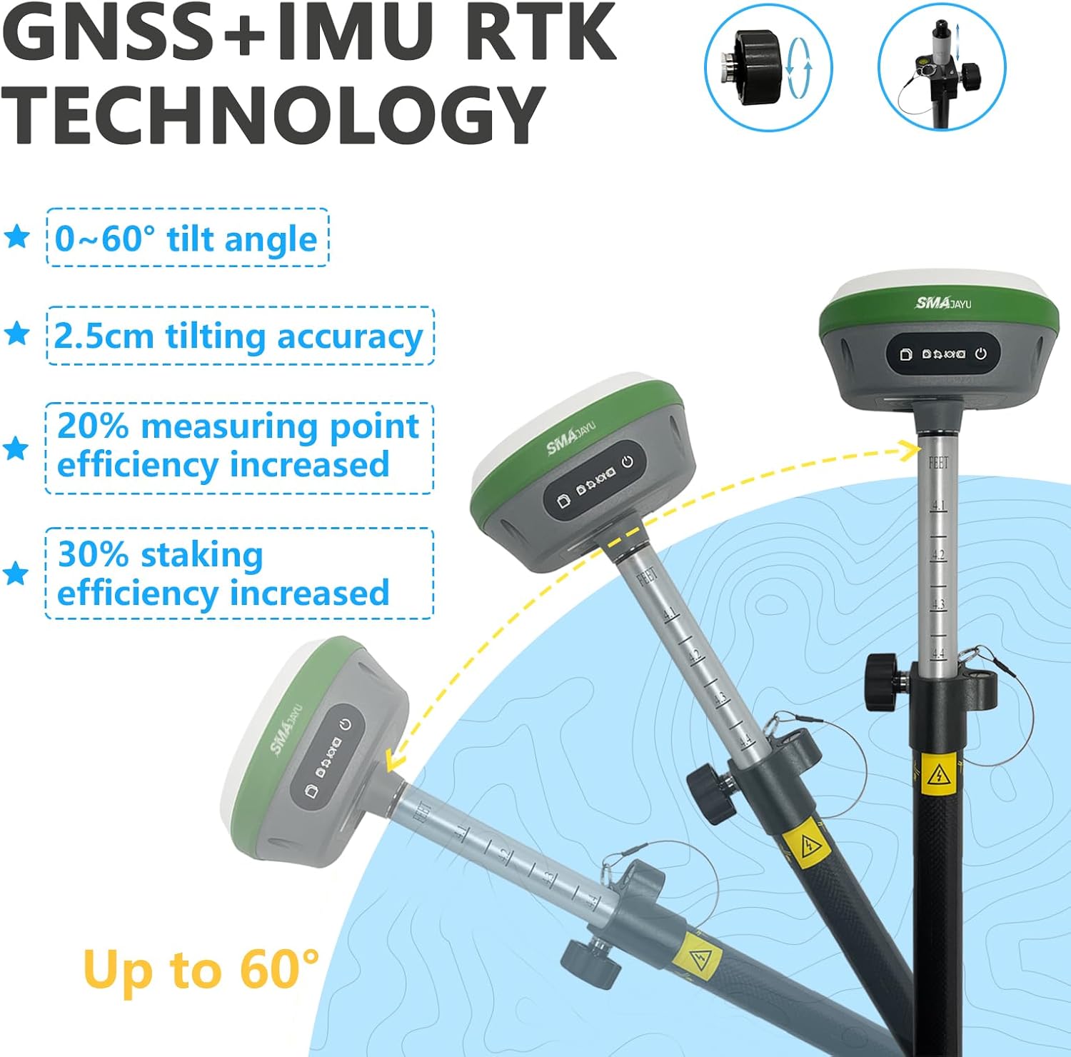
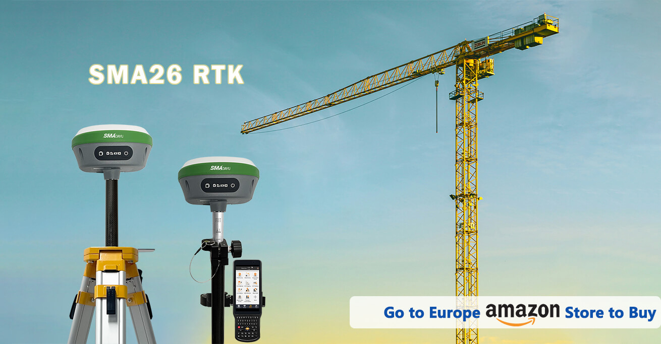
SMA26 is a multi-functional and intelligent GNSS receiver . It has built-in GNSS full-frequency antenna,high-precision positioning board,4G,IMU,radio and other modules.
- Benefit
- Specification
- Download
- Reviews
What is a SMA26 RTK?
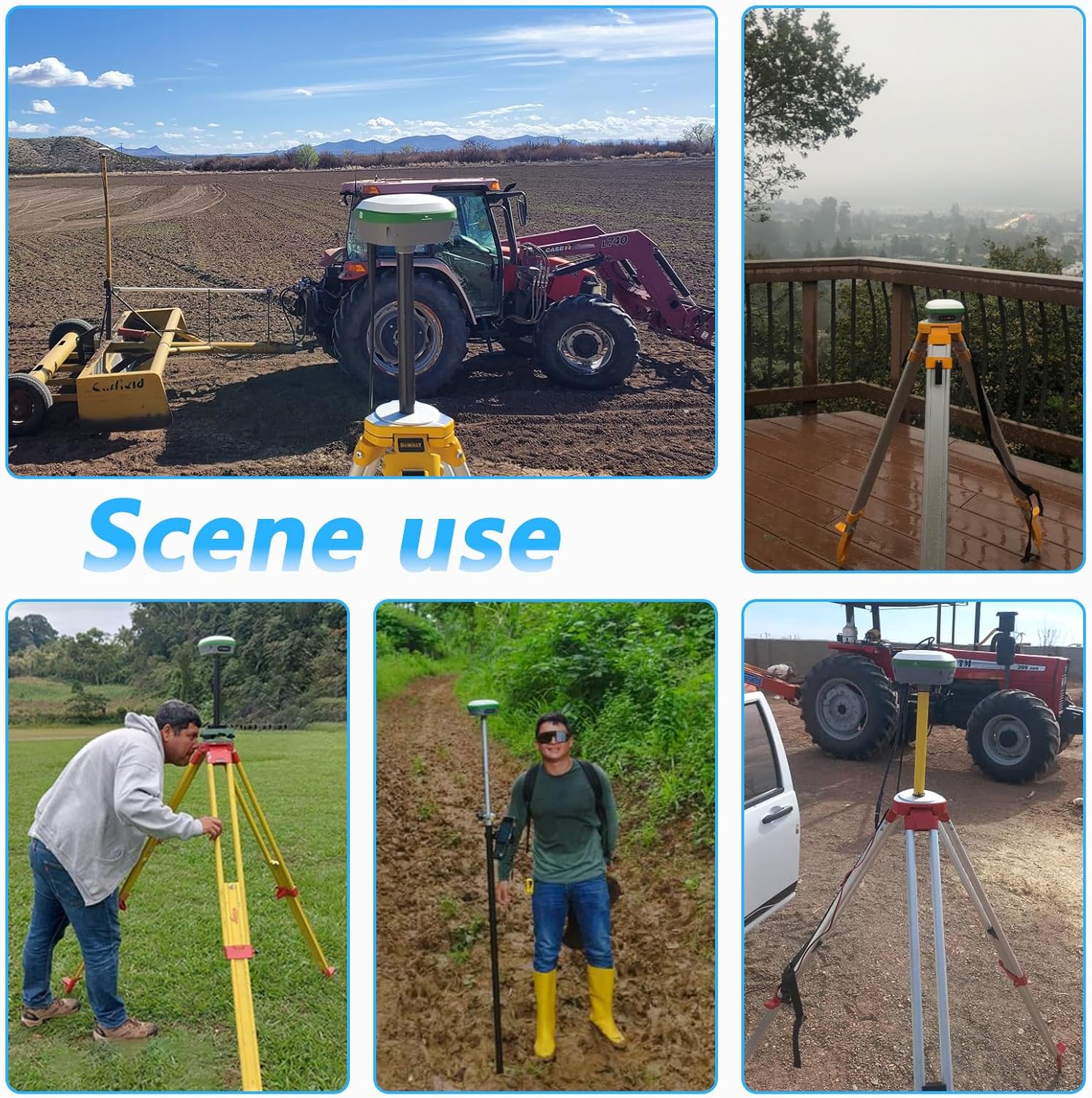
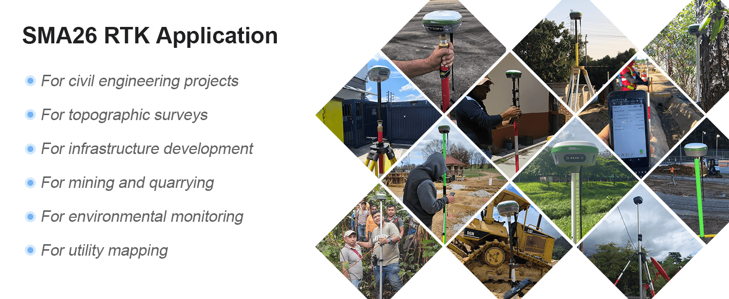
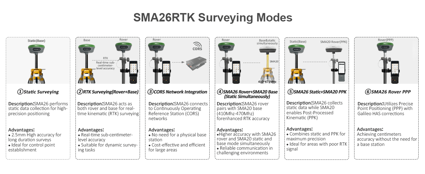
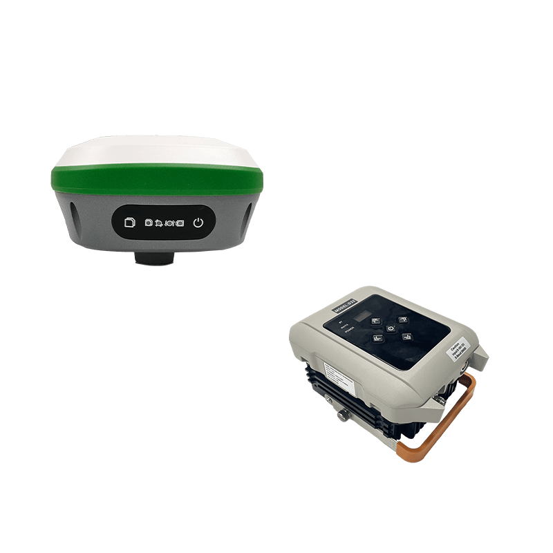
SMA26 can be used as a mobile station or a base station;it has high precision,low power consumption,small size,and is easy to carry and operate ;it has an embedded intelligent system that supports functions such as voice,intelligent web page platform WEBUI,and device self-test. It can meet the positioning and orientation needs of various industries,such as mechanical control,surveying and mapping engineering,precision agriculture,geographical information,water surveying,engineering surveying,mine surveying,aerial photography,drones,etc.
-
Why need point Calibration?
-
In order to make the coordinate system in the area consistent with the coordinate system of the external control point, or to unify the two coordinate systems in the area, point calibration is required.
-
How to perform point Calibration?
-
To perform point calibration, you need the coordinates of points in the target system and the current system. The coordinates in the target system can be those of known control points or imported coordinates in the target system. The coordinates in the current system can be directly obtained through RTK surveying.It is generally recommended to select at least 3 points and obtain the coordinates of these points in the target system and the current system for calibration.
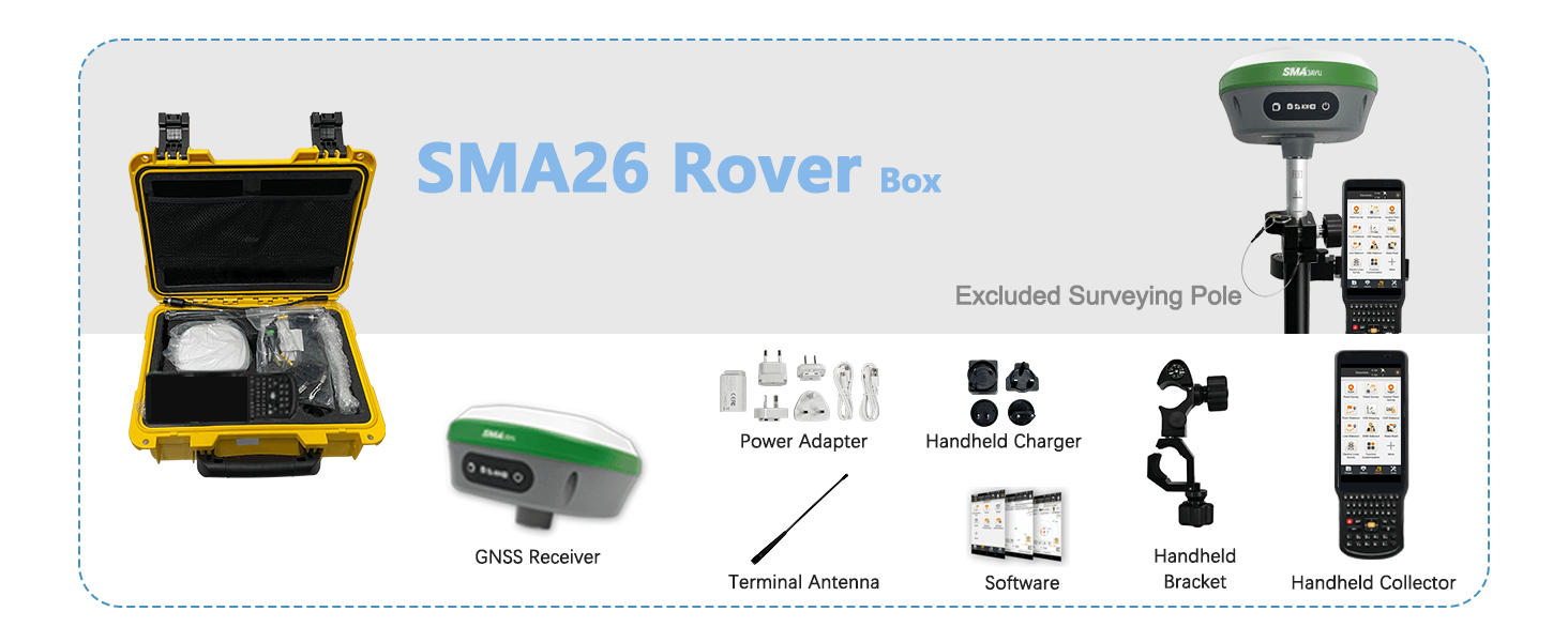
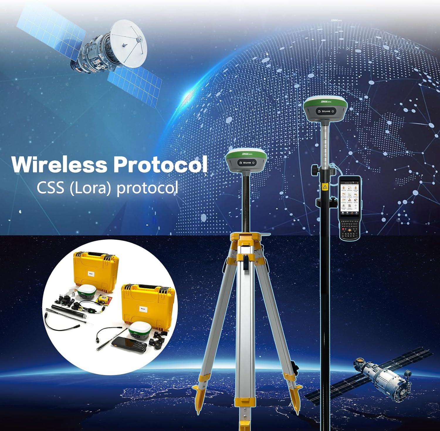
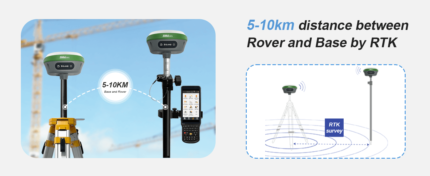
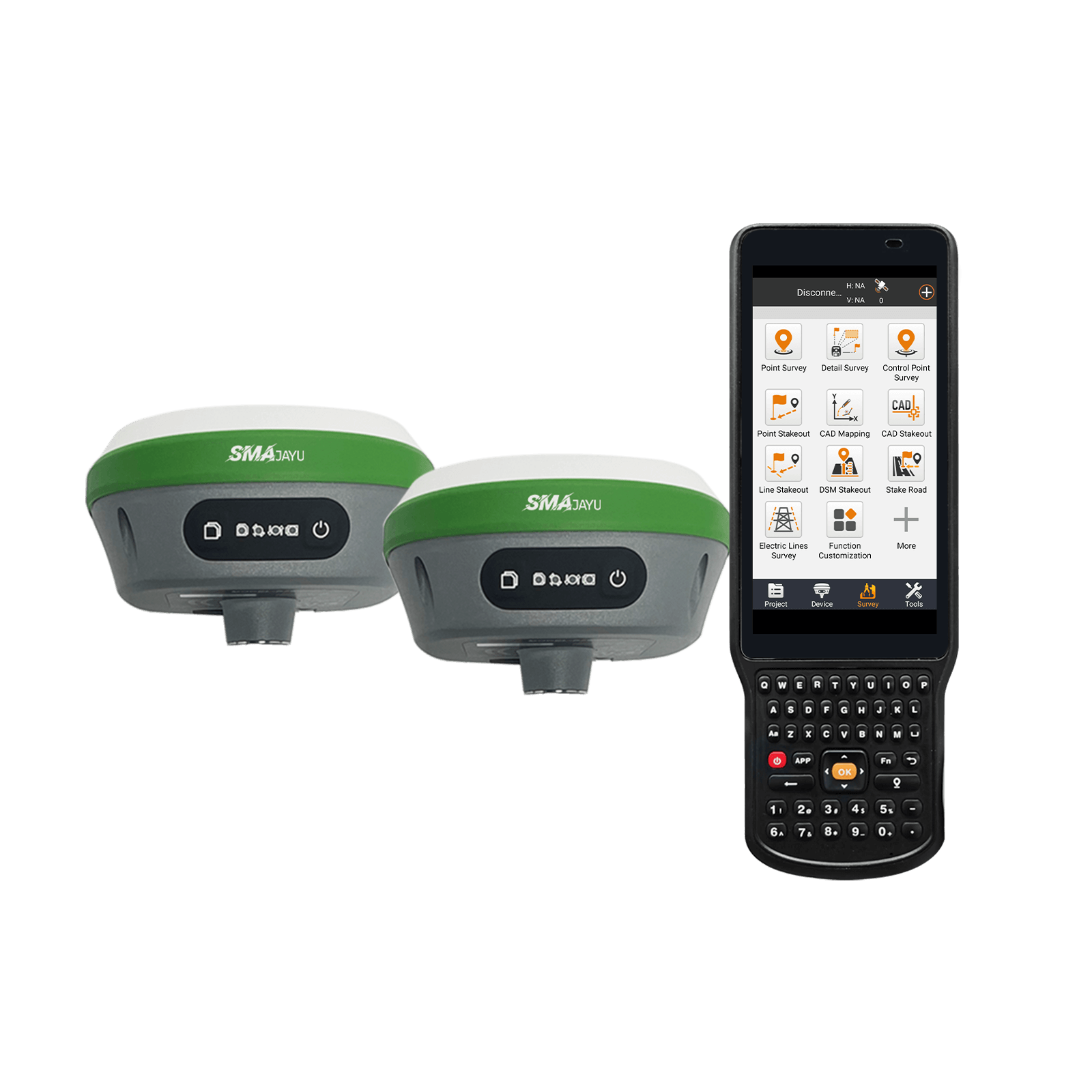
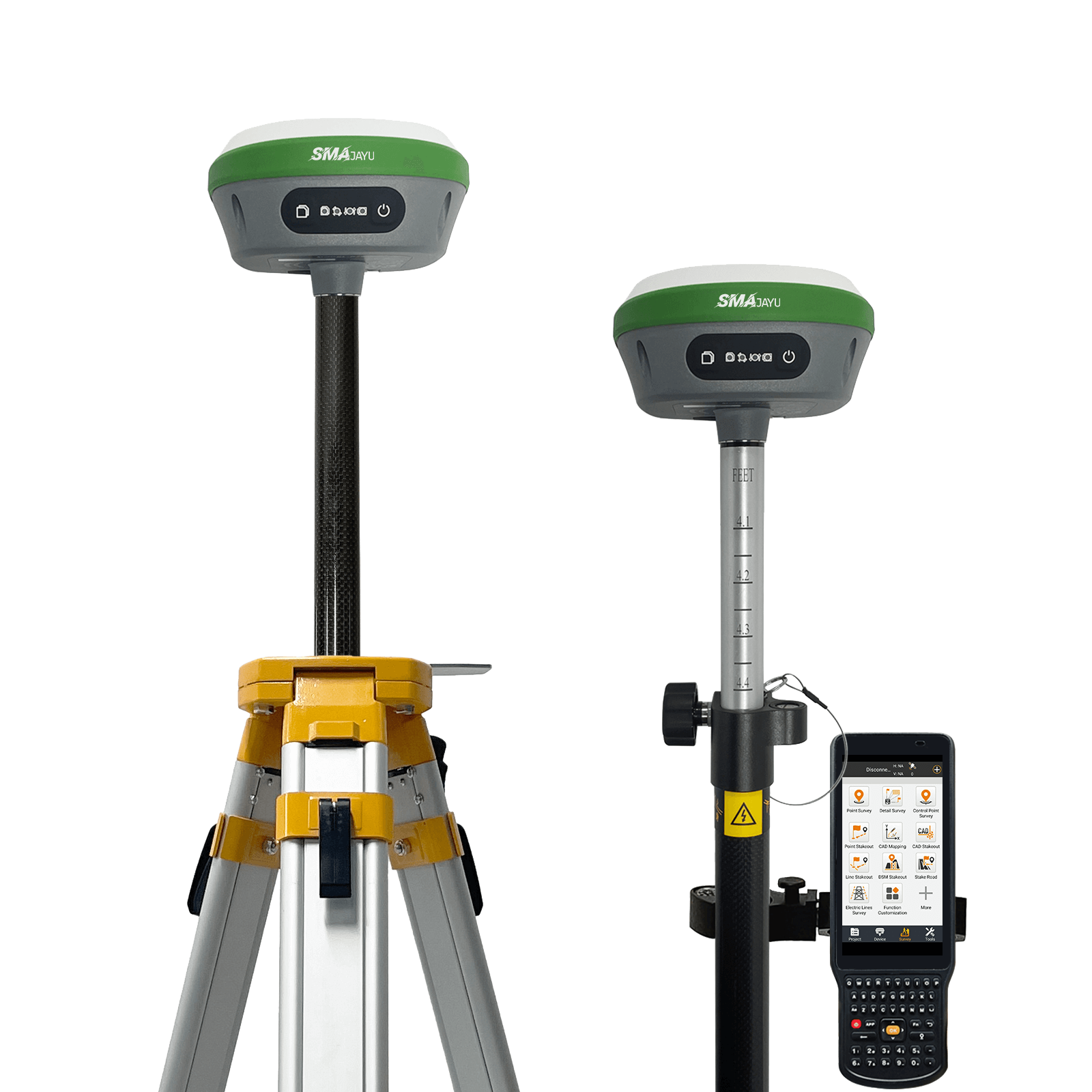
SMA26 GNSS Surveying System with IMU, consists of SMA26 rover and base station and Collector with Surveying software. Double SMA26 RTK GNSS receiver included, which enables the system to pinpoint measurement and reference locations in a timely and accurate manner.
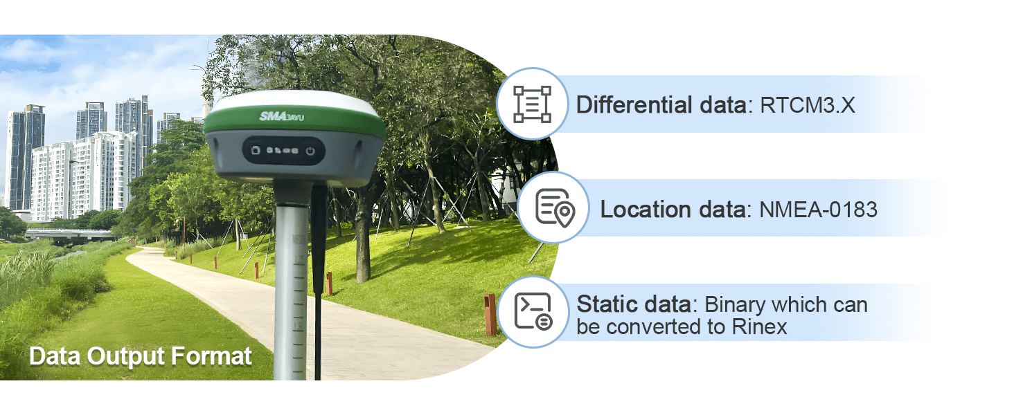
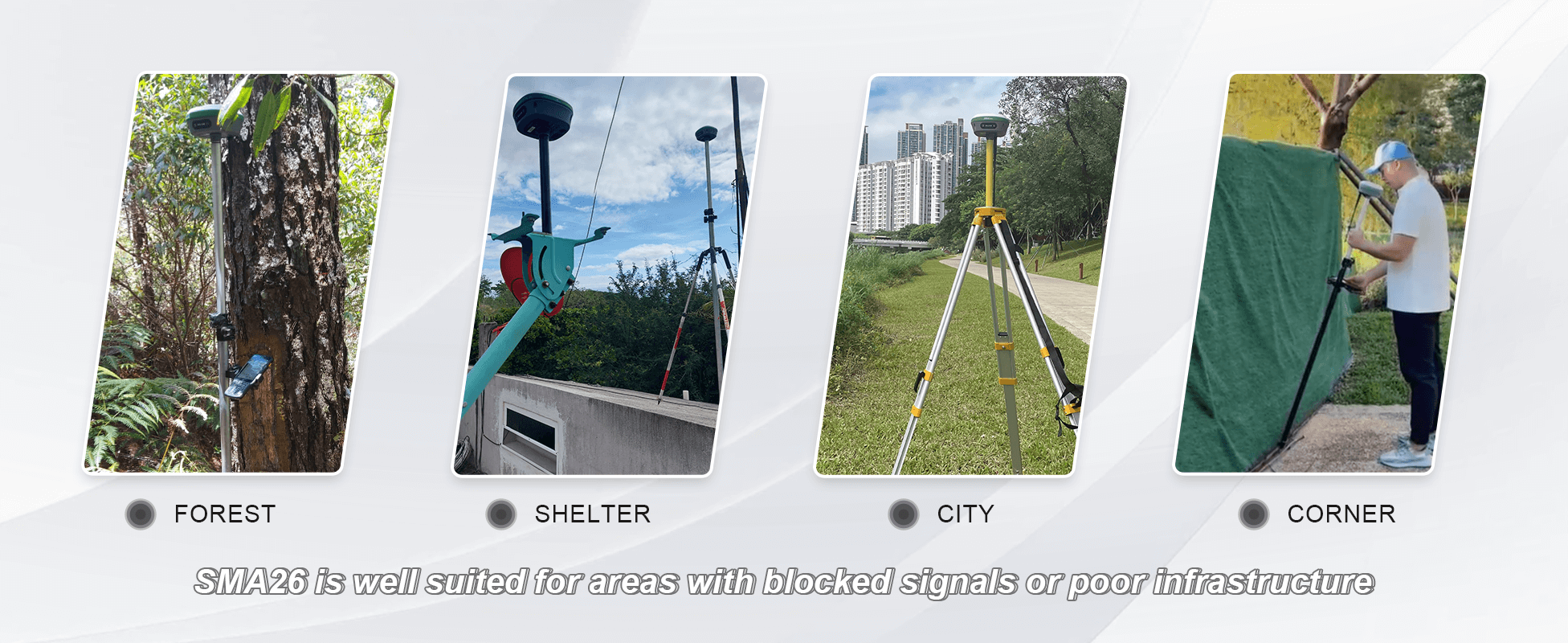
Receives satellite signals at all constellations and all frequency points,is compatible with Beidou-3,and can search for 40+ satellites,ensuring positioning accuracy in a variety of complex environments;
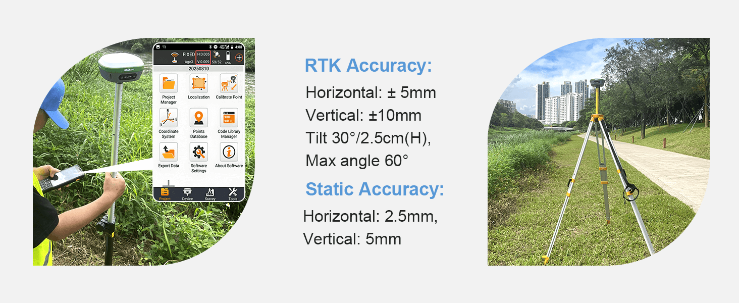
This Survey system is mainly for construction and geodetic surveys or layout planning.
Survey Steps

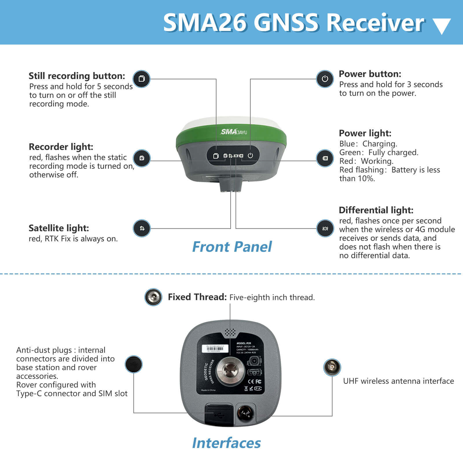
Please note that:When you receive the new SMA26 device. Long press the power button to turn it on. If the light does not respond, or the light flickers for a while and then goes out. It means that the device is out of power. Please connect the adapter to charge it.
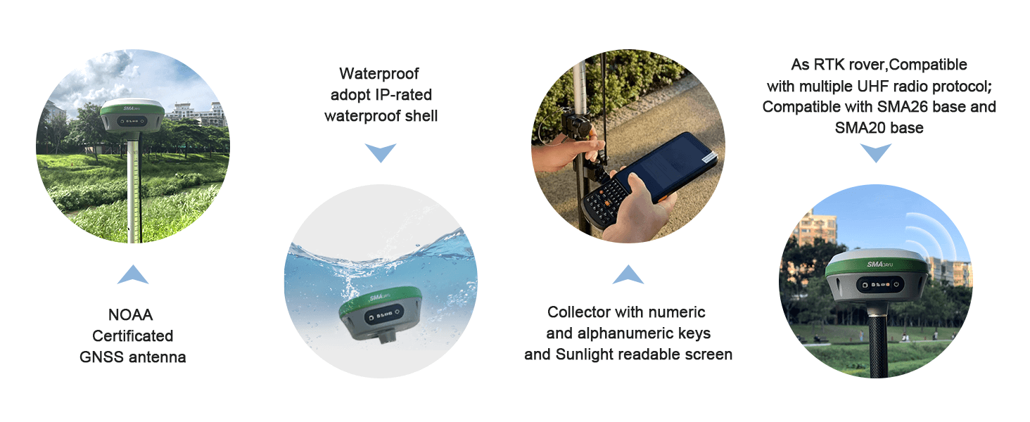


-
SMA26 survey system
3.66MB

SMA26 RTK Rover, NOAA Certficated
$
x
Reply to you within 24 hours


