

Survey base stations are crucial in various fields requiring precise geographical data. They provide a reference point for surveying equipment, ensuring accuracy and reliability in data collection. This article delves into the intricacies of the R26 V1 GNSS GPS RTK Base Station, a high-accuracy surveying tool from SMAJAYU, exploring its features, benefits, and applications.
Understanding Survey Base Stations
What is a Survey Base Station?
A survey base station is a fixed reference point used in GPS and GNSS surveys to enhance the accuracy of data collected by mobile units, known as rovers. It receives satellite signals and transmits correction data to the rovers, compensating for errors such as atmospheric delays and satellite orbit inaccuracies.
Importance of Base Stations in Surveying
Base stations are vital in achieving centimeter-level accuracy in surveying tasks. They provide real-time kinematic (RTK) corrections, which are essential for applications like construction, agriculture, and mapping. Without a base station, the accuracy of GPS readings could be off by several meters, rendering the data unreliable for precision tasks.
The Role of GNSS in Modern Surveying
Global Navigation Satellite Systems (GNSS) encompass various satellite constellations, including GPS, GLONASS, Galileo, and BeiDou. Combining signals from multiple constellations improves positional accuracy and reliability. GNSS receivers like the R26 V1 can process these signals to deliver high-precision data essential for professional surveying.
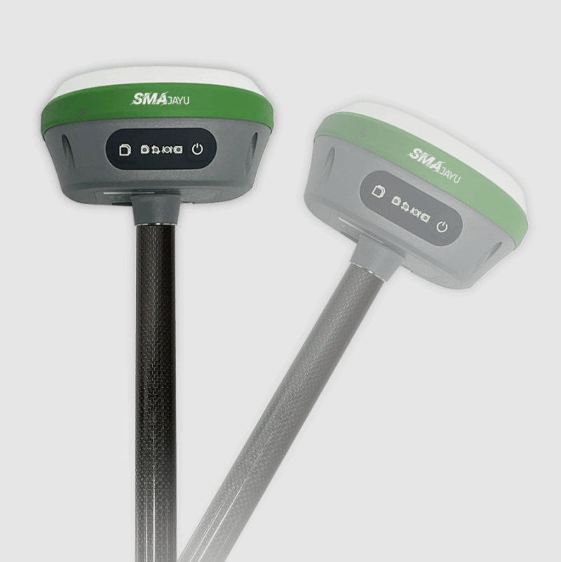
The R26 V1 GNSS GPS RTK Base Station
High Accuracy Static Surveying
The R26 V1 GNSS receiver is designed for high-accuracy static surveying. It can collect coordinates and perform point surveying with remarkable precision. The device's static surveying capabilities make it ideal for establishing control points and other applications requiring fixed, highly accurate positions.
Coordinates Collection and Point Surveying
With the R26 V1, surveyors can collect coordinates efficiently and accurately. The device's advanced GNSS technology ensures that even in challenging environments, the data collected is precise. Point surveying is made easier with the R26 V1, allowing for quick and reliable data collection.
Key Features of the R26 V1
High Precision: The R26 V1 offers centimeter-level accuracy, essential for professional surveying.
Low Power Consumption: Designed to be energy-efficient, the R26 V1 can operate for extended periods without frequent recharging.
Compact Size: Its small size makes it easy to carry and deploy in the field.
Recommended Applications and Configurations
Ideal for SMAJAYU JY305 Autosteering System
The R26 V1 is highly recommended as a base station for the SMAJAYU JY305 autosteering system. This integration ensures that the autosteering system benefits from the high accuracy and reliability of the R26 V1, enhancing its performance in precision agriculture and other applications.

Using R26 as a Rover and Base
For comprehensive surveying solutions, two sets of R26 receivers can be used—one as a base and the other as a rover. This configuration maximizes the utility of the equipment, allowing for dynamic and static surveying with the same high level of accuracy.
Permanent Activation Code for Software
A notable feature of the R26 V1 is the availability of a permanent activation code for its surveying software, provided with a minimum order of two units (either two bases or a base and a rover). This ensures that users have continuous access to the necessary tools for their surveying needs.
Versatility and Ease of Use
Switchable Modes: Base Station and Rover
The R26 V1 offers the flexibility to switch between base station mode and rover mode based on the needs of the survey. This versatility allows users to adapt to different surveying scenarios without needing multiple devices.

Standalone Rover for Static Surveying
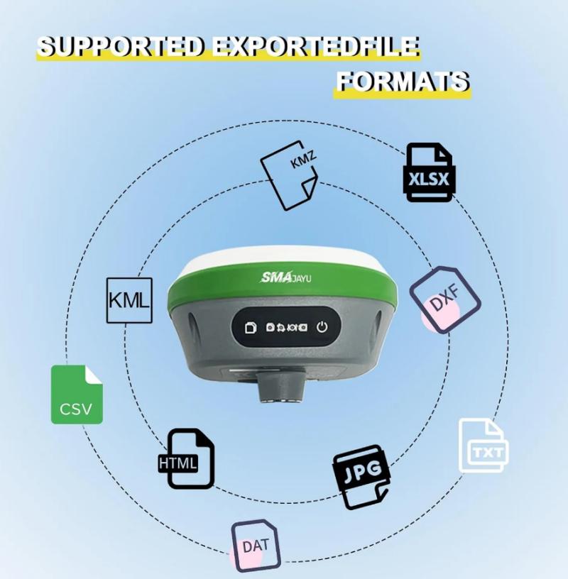
When used as a standalone rover, the R26 V1 can perform static surveying. The included conversion tool allows users to convert raw data into RINEX files, a standard format for GNSS data processing, ensuring compatibility with various software applications.
User-Friendly Design
The R26 V1 is designed for ease of use. It features a straightforward setup process, and its compact size makes it portable and convenient for fieldwork. The device's low power consumption ensures long operational periods, making it ideal for extended surveying tasks.
Technological Advancements in R26 V1
GNSS+IMU RTK Technology
The R26 V1 is equipped with GNSS+IMU RTK technology, which integrates an inertial navigation module. This technology allows for precise measurements even when the survey pole is tilted, significantly improving measurement and staking efficiency.
Strong Compatibility
The R26 V1 is compatible with multiple communication protocols, including TRIMTALK and South. This strong compatibility ensures that the device can be integrated into various existing surveying systems, providing flexibility and ease of use for professionals.
Environmental Considerations
For optimal performance, it is recommended to conduct surveys in open areas without obstructions. The R26 V1 can achieve RTK fixes in clear environments, while performance may be affected in areas with trees or buildings that block signals.
What's Included in the R26 V1 Package
Comprehensive Kit for Surveying
The R26 V1 GNSS receiver comes with a complete set of accessories to facilitate surveying tasks. The package includes:
(1) R26 GNSS Receiver
(2) Tape Measure
(3) Disc
(4) Extension Rod
(5) Terminal Antenna
(6) Nine-core to DC Cable
(7) Nine-core Setting Line
(8) Power Adapter
Ensuring Accurate Measurements
The inclusion of these accessories ensures that users have everything they need for precise and efficient surveying. From setting up the base station to collecting data with the rover, the R26 V1 package is designed to support all aspects of the surveying process.
User Guide and Support
A detailed user guide is provided to help users get started with the R26 V1. It includes instructions on setting up the device, using the software, and troubleshooting common issues. For additional support, users can refer to SMAJAYU's customer service and technical support resources.
Conclusion: The Power of Precision with R26 V1
The R26 V1 GNSS GPS RTK Base Station from SMAJAYU is a powerful tool for professionals seeking high-accuracy surveying solutions. Its advanced features, flexibility, and ease of use make it an excellent choice for various applications, from agriculture to construction. By leveraging the power of GNSS+IMU RTK technology, the R26 V1 ensures that surveyors can achieve precise, reliable results, enhancing the efficiency and effectiveness of their work. Whether used as a base station or a rover, the R26 V1 stands out as a versatile and indispensable device in the field of surveying.
